|
|
Weather Alert |
| Monroe County, OH | |||||||||
|
|
||||||||
|
Canceled 7/16/25 5:51 PM Severe Thunderstorm Warning issued July 16 at 5:40PM EDT until July 16 at 6:30PM EDT by NWS Pittsburgh PA At 537 PM EDT, severe thunderstorms were located along a line extending from 12 miles northeast of Marietta to 10 miles west of Sistersville to near St. Marys, moving northeast at 35 mph. HAZARD...60 mph wind gusts. SOURCE...Radar indicated. IMPACT...Expect damage to trees and power lines, resulting in some power outages. Locations impacted include... New Martinsville, Woodsfield, Paden City, Pine Grove, Sardis, Beallsville, Clarington, Cameron, Fly, Antioch, Graysville, Wileyville, Proctor, Woodlands, Reader, Lynn Camp, Porters Falls, Hannibal, Rinard Mills, and Laings. 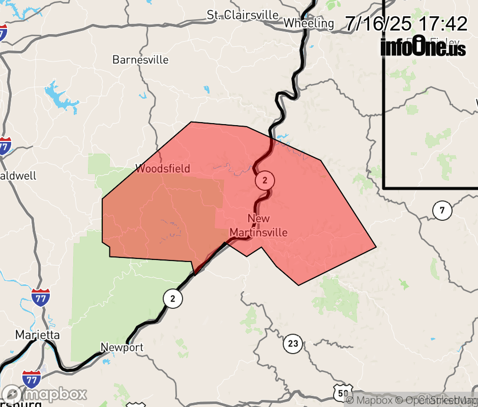 |
|||||||||
 Why aren't you using the InfoOne app? Why aren't you using the InfoOne app?
Stay abreast of information affecting your community! InfoOne tracks real-time information such as:
InfoOne currently supports over 100 communities in NC, VA and WV, and our coverage area is steadily growing. It's free! Install the InfoOne app today and see what you've been missing. |
|||||||||