|
|
Weather Alert |
| Kanawha County, WV | |||||||||
|
|
||||||||
|
Canceled 6/26/22 7:00 PM Special Weather Statement issued June 26 at 6:33PM EDT by NWS Charleston WV At 631 PM EDT, Doppler radar was tracking a strong thunderstorm 7 miles southwest of Chesapeake, or 11 miles northeast of Madison, moving east at 25 mph. HAZARDS...Winds in excess of 30 mph, heavy rain. SOURCE...Radar indicated. IMPACT...Gusty winds could knock down tree limbs, even trees in saturated soils, and blow around unsecured objects. Locations impacted include... Montgomery, Chesapeake, Belle, Cedar Grove, East Bank, Glasgow, Smithers, Gauley Bridge, Pratt, Burnwell, Powellton, Whitesville, Handley, Sylvester, Seth, Leewood, Dawes, Prenter, Sharon and Eskdale. This includes West Virginia Turnpike between mile markers 58 and 87. 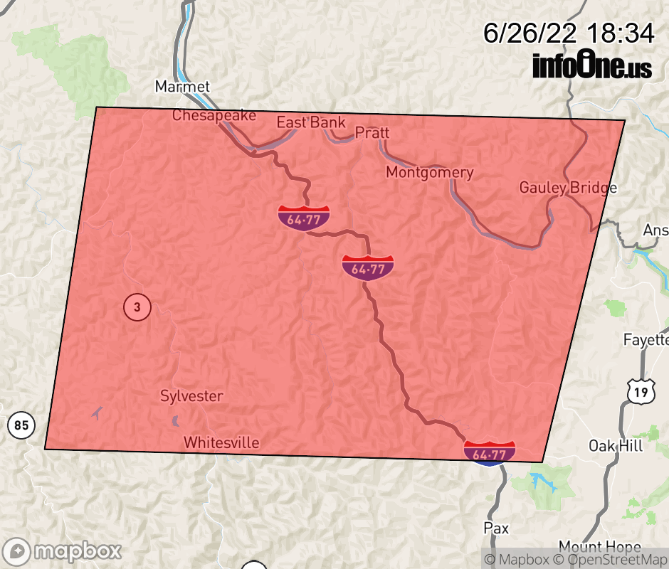 |
|||||||||
 Why aren't you using the InfoOne app? Why aren't you using the InfoOne app?
Stay abreast of information affecting your community! InfoOne tracks real-time information such as:
InfoOne currently supports over 100 communities in NC, VA and WV, and our coverage area is steadily growing. It's free! Install the InfoOne app today and see what you've been missing. |
|||||||||