
|
Weather Alert |
| Scioto County, OH | |||||||||
|
|
||||||||
|
Canceled 7/21/26 5:03 PM Flood Advisory issued July 21 at 4:42PM EDT until July 21 at 6:45PM EDT by NWS Wilmington OH * WHAT... Flooding caused by excessive rainfall is expected. * WHERE... Northern Lewis County in northeastern Kentucky... Southern Adams County in south central Ohio... Southwestern Scioto County in south central Ohio... * WHEN... Until 645 PM EDT. * IMPACTS... Minor flooding in low-lying and poor drainage areas. * ADDITIONAL DETAILS... - At 442 PM EDT, radar and automated rain gauges indicated heavy rain due to thunderstorms. Minor flooding is ongoing or expected to begin shortly in the advisory area. Between 1 and 1.5 inches of rain have fallen. - Additional rainfall of 0.5 to 1 inch is expected over the area. - Some locations that will experience flooding include... Manchester, Vanceburg, Rome, Concord, Buena Vista in Scioto County, Sandy Springs, Carrs, Garrison, Turkey Creek Lake, Tannery, Rexton, Friendship, Saint Paul, Firebrick and Bentonville. 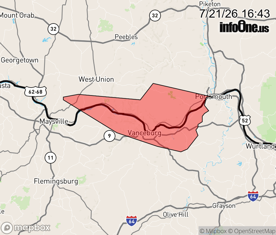 |
|||||||||
 Why aren't you using the InfoOne app? Why aren't you using the InfoOne app?
Stay abreast of information affecting your community! InfoOne tracks real-time information such as:
InfoOne currently supports over 100 communities in NC, VA and WV, and our coverage area is steadily growing. It's free! Install the InfoOne app today and see what you've been missing. |
|||||||||