|
|
Weather Alert |
| Mingo County, WV | |||||||||
|
|
||||||||
|
Canceled 4/29/26 4:30 AM Special Weather Statement issued April 29 at 4:22AM EDT by NWS Charleston WV At 422 AM EDT, Doppler radar was tracking a strong thunderstorm near Mount Gay-Shamrock, or 9 miles west of Logan, moving northeast at 25 mph. HAZARD...Half inch hail. SOURCE...Radar indicated. IMPACT...Minor hail damage to vegetation is possible. Locations impacted include... Logan, Chapmanville, Mount Gay-Shamrock, Holden, Chief Logan State Park, Harts, West Logan, Mitchell Heights, Mount Gay, Verdunville, and Dingess. This includes Route 119 near mile marker 20, and between mile markers 24 and 39. 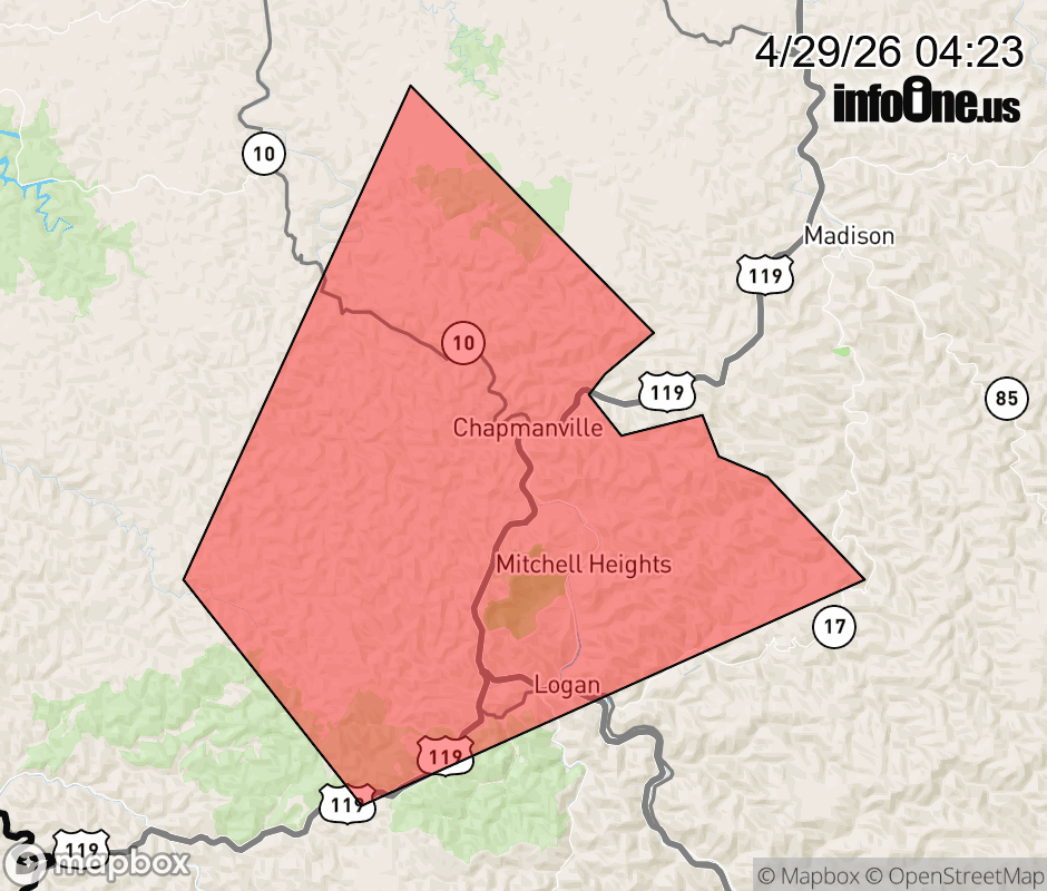 |
|||||||||
 Why aren't you using the InfoOne app? Why aren't you using the InfoOne app?
Stay abreast of information affecting your community! InfoOne tracks real-time information such as:
InfoOne currently supports over 100 communities in NC, VA and WV, and our coverage area is steadily growing. It's free! Install the InfoOne app today and see what you've been missing. |
|||||||||