|
|
Weather Alert |
| Summit County, OH | |||||||||
|
|
||||||||
|
Canceled 6/18/25 9:52 PM Severe Thunderstorm Warning issued June 18 at 8:54PM EDT until June 18 at 10:15PM EDT by NWS Cleveland OH SVRCLE The National Weather Service in Cleveland has issued a * Severe Thunderstorm Warning for... Portage County in northeastern Ohio... Stark County in northeastern Ohio... Summit County in northeastern Ohio... Southeastern Wayne County in northeastern Ohio... * Until 1015 PM EDT. * At 854 PM EDT, severe thunderstorms were located along a line extending from 6 miles southeast of West Salem to near Shreve to near Glenmont, moving east at 60 mph. HAZARD...70 mph wind gusts. SOURCE...Radar indicated. IMPACT...Expect considerable tree damage. Damage is likely to mobile homes, roofs, and outbuildings. * Locations impacted include... Akron, Canton, Ravenna, Cuyahoga Falls, Massillon, Kent, Barberton, Green, Solon, Alliance, Hudson, Twinsburg, Tallmadge, North Canton, Streetsboro, Macedonia, Louisville, Mogadore, Minerva, and Hartville. 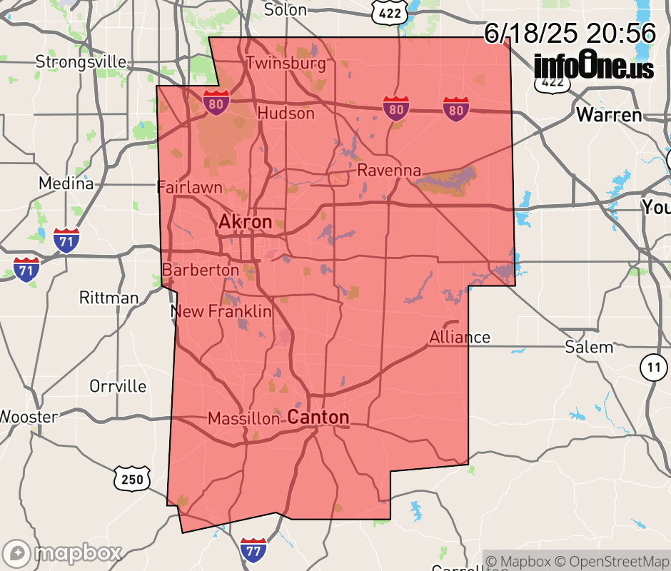 |
|||||||||
 Why aren't you using the InfoOne app? Why aren't you using the InfoOne app?
Stay abreast of information affecting your community! InfoOne tracks real-time information such as:
InfoOne currently supports over 100 communities in NC, VA and WV, and our coverage area is steadily growing. It's free! Install the InfoOne app today and see what you've been missing. |
|||||||||