|
|
Weather Alert |
| Pendleton County, WV | |||||||||
|
|
||||||||
|
Canceled 6/15/25 4:59 PM Flash Flood Warning issued June 15 at 2:50PM EDT until June 15 at 7:00PM EDT by NWS Baltimore MD/Washington DC At 250 PM EDT, gauge reports indicated thunderstorms producing heavy rain across the warned area. Between 1 and 2.5 inches of rain have fallen. Flooding impacts will continue, but no additional rainfall is expected. Flash flooding is ongoing or expected to begin shortly. HAZARD...Flash flooding caused by thunderstorms. SOURCE...Gauges reported. IMPACT...Flash flooding of small creeks and streams, urban areas, highways, streets and underpasses as well as other poor drainage and low-lying areas. Some locations that will experience flash flooding include... Franklin... Brandywine... Upper Tract... Riverton... Circleville... Ruddle... Cherry Grove... Seneca Rocks... Onego... Moyers... Deer Run... Sugar Grove... Oak Flat... 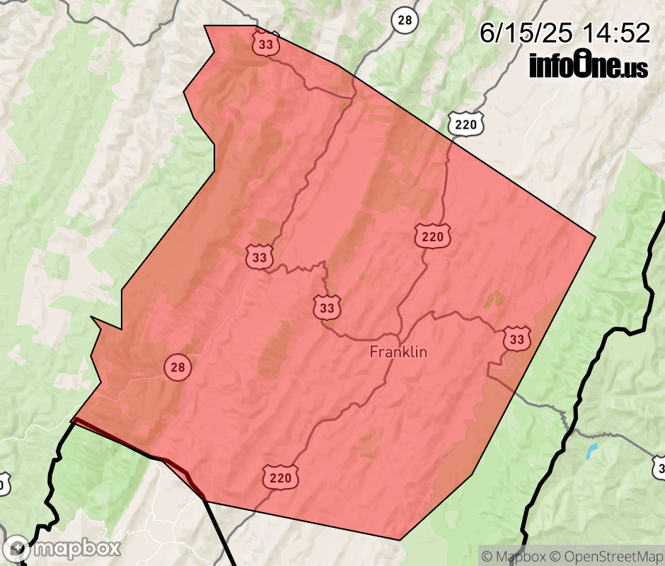 |
|||||||||
 Why aren't you using the InfoOne app? Why aren't you using the InfoOne app?
Stay abreast of information affecting your community! InfoOne tracks real-time information such as:
InfoOne currently supports over 100 communities in NC, VA and WV, and our coverage area is steadily growing. It's free! Install the InfoOne app today and see what you've been missing. |
|||||||||