|
|
Weather Alert |
| Medina County, OH | |||||||||
|
|
||||||||
|
Canceled 6/6/26 8:11 PM Severe Thunderstorm Warning issued June 6 at 7:44PM EDT until June 6 at 8:15PM EDT by NWS Cleveland OH At 744 PM EDT, a severe thunderstorm was located over Polk, or 8 miles northeast of Ashland, moving southeast at 30 mph. HAZARD...60 mph wind gusts and nickel size hail. SOURCE...Radar indicated. IMPACT...Expect damage to trees and power lines. Locations impacted include... Ashland, West Salem, Hayesville, Savannah, Polk, Sullivan, Jeromesville, Bailey Lakes, Burbank, Congress, Nankin, and Rowsburg. 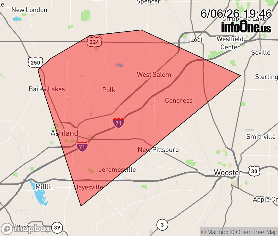 |
|||||||||
 Why aren't you using the InfoOne app? Why aren't you using the InfoOne app?
Stay abreast of information affecting your community! InfoOne tracks real-time information such as:
InfoOne currently supports over 100 communities in NC, VA and WV, and our coverage area is steadily growing. It's free! Install the InfoOne app today and see what you've been missing. |
|||||||||