|
|
Weather Alert |
| Clay County, WV | |||||||||
|
|
||||||||
|
Canceled 5/10/26 7:15 PM Special Weather Statement issued May 10 at 6:44PM EDT by NWS Charleston WV At 643 PM EDT, Doppler radar was tracking a strong thunderstorm 8 miles northwest of Summersville, moving east at 35 mph. HAZARD...Pea size hail. SOURCE...Radar indicated. IMPACT...Minor hail damage to vegetation is possible. Locations impacted include... Summersville, Richwood, Camden-On-gauley, Camden On Gauley, Craigsville, Cowen, Widen, Boggs, Calvin, Canvas, Drennan, and Muddlety. This includes Route 19 between mile markers 40 and 57. 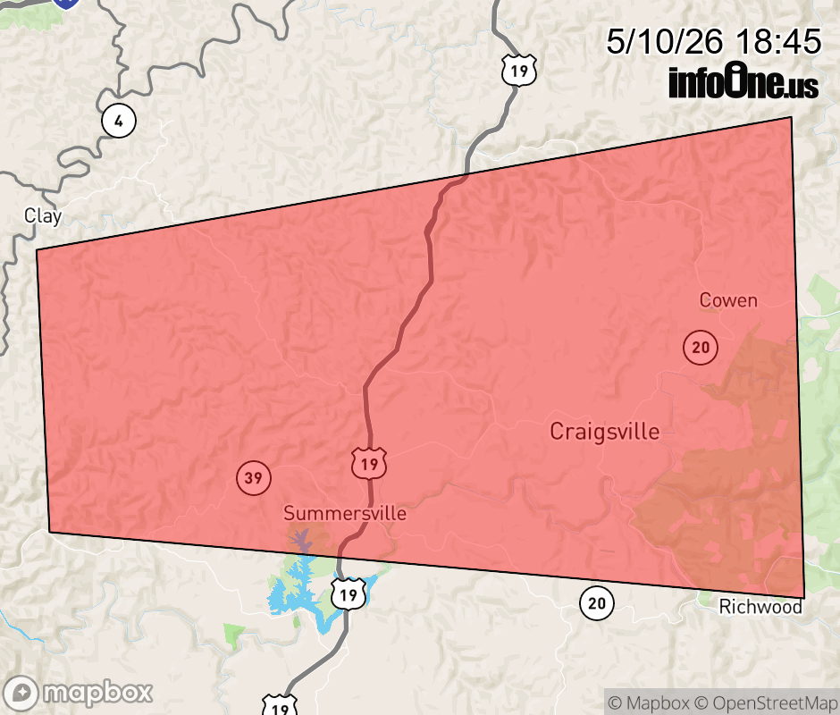 |
|||||||||
 Why aren't you using the InfoOne app? Why aren't you using the InfoOne app?
Stay abreast of information affecting your community! InfoOne tracks real-time information such as:
InfoOne currently supports over 100 communities in NC, VA and WV, and our coverage area is steadily growing. It's free! Install the InfoOne app today and see what you've been missing. |
|||||||||