|
|
Weather Alert |
| Webster County, WV | |||||||||
|
|
||||||||
|
Canceled 11/26/21 3:15 AM Special Weather Statement issued November 25 at 9:09PM EST by NWS Charleston WV Temperatures dropping below freezing overnight will result in a changeover from rain to snow showers, with light snow accumulations beginning during the early morning hours Friday. Snow accumulations can range from one to as much as three inches through Friday morning, before the snow showers taper off to snow flurries Friday afternoon. Conditions can deteriorate rapidly in winter weather situations. Be prepared for a sudden decrease in visibility and quick accumulation on roadways. Moisture underneath the snow can freeze. Slow down and allow extra time when traveling. Northwest winds of 15 to 25 mph, with gusts of 40 to 45 mph, will further reduce visibility, could cause minor tree damage, blow unsecured objects around and create a further hazard for high profile vehicles in a cross wind. Secure loose objects and use caution when traveling. These strong winds, with temperatures in the upper teens to lower 20s, will combine to cause wind chill indices in the single digits, making outdoor exposure dangerous at times. Wear protective winter clothing. 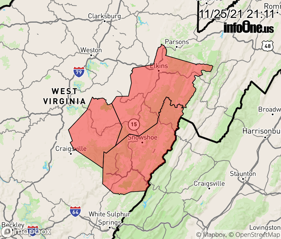 |
|||||||||
 Why aren't you using the InfoOne app? Why aren't you using the InfoOne app?
Stay abreast of information affecting your community! InfoOne tracks real-time information such as:
InfoOne currently supports over 100 communities in NC, VA and WV, and our coverage area is steadily growing. It's free! Install the InfoOne app today and see what you've been missing. |
|||||||||