|
|
Weather Alert |
| Pleasants County, WV | |||||||||
|
|
||||||||
|
Canceled 4/1/26 5:57 PM Severe Thunderstorm Warning issued April 1 at 5:42PM EDT until April 1 at 6:15PM EDT by NWS Charleston WV SVRRLX The National Weather Service in Charleston West Virginia has issued a * Severe Thunderstorm Warning for... East central Washington County in southeastern Ohio... Pleasants County in northwestern West Virginia... Northeastern Ritchie County in northwestern West Virginia... Tyler County in northern West Virginia... * Until 615 PM EDT. * At 542 PM EDT, a severe thunderstorm was located over St. Marys, moving east at 30 mph. HAZARD...Ping pong ball size hail and 60 mph wind gusts. SOURCE...Radar indicated. IMPACT...People and animals outdoors will be injured. Expect hail damage to roofs, siding, windows, and vehicles. Expect wind damage to roofs, siding, and trees. * Locations impacted include... St. Marys, Middlebourne, Sistersville, Belmont, Newport, Matamoras, Friendly, Maxwell, Arvilla, Point Lookout, New Matamoras, Wick, Mountain, and Hebron. 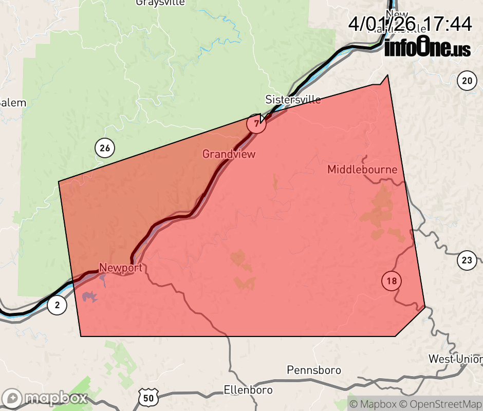 |
|||||||||
 Why aren't you using the InfoOne app? Why aren't you using the InfoOne app?
Stay abreast of information affecting your community! InfoOne tracks real-time information such as:
InfoOne currently supports over 100 communities in NC, VA and WV, and our coverage area is steadily growing. It's free! Install the InfoOne app today and see what you've been missing. |
|||||||||