
|
Weather Alert |
| Tyler County, WV | |||||||||
|
|
||||||||
|
Canceled 8/9/26 1:45 AM Special Weather Statement issued August 9 at 12:57AM EDT by NWS Charleston WV At 1257 AM EDT, radar indicated strong thunderstorms were located along a line extending from 13 miles southwest of Woodsfield to 8 miles southwest of Belmont to 8 miles northeast of Sandyville. Movement was east at 30 mph. Winds in excess of 40 mph and pea size hail are possible with these storms. Locations impacted include... Harrisville, St. Marys, Elizabeth, Middlebourne, Paden City, Sistersville, Pennsboro, Belmont, North Bend State Park, Mineralwells, Newport, Matamoras, Ellenboro, Cairo, Friendly, Fly, Cherry, Maxwell, Schultz, and New Matamoras. This includes the following highways... Interstate 77 in West Virginia between mile markers 161 and 163. Route 50 in West Virginia between mile markers 14 and 41. Torrential rainfall is also occurring with these storms, and may cause localized flooding. Do not drive your vehicle through flooded roadways. 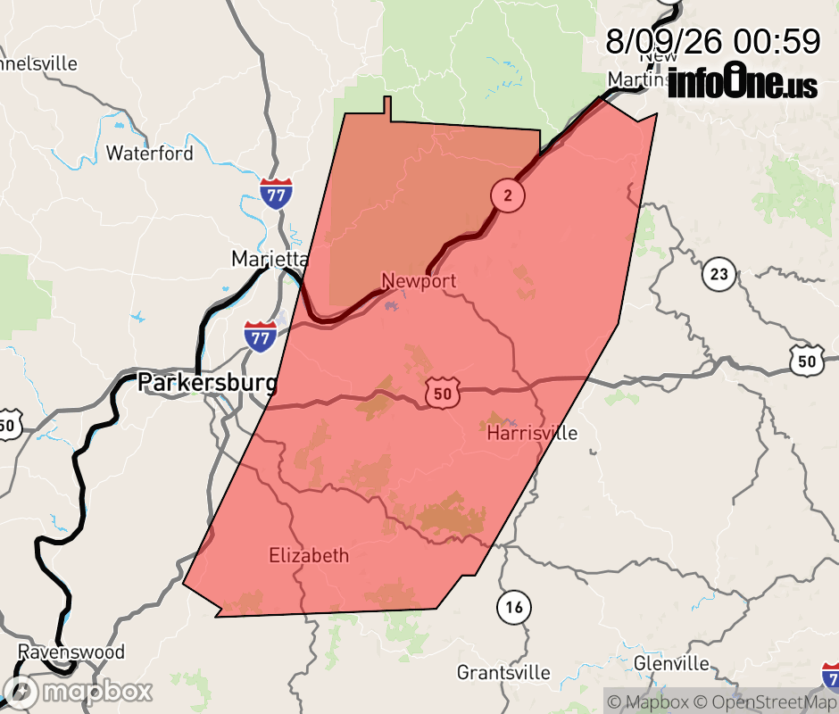 |
|||||||||
 Why aren't you using the InfoOne app? Why aren't you using the InfoOne app?
Stay abreast of information affecting your community! InfoOne tracks real-time information such as:
InfoOne currently supports over 100 communities in NC, VA and WV, and our coverage area is steadily growing. It's free! Install the InfoOne app today and see what you've been missing. |
|||||||||