|
|
Weather Alert |
| Meigs County, OH | |||||||||
|
|
||||||||
|
Canceled 2/20/26 12:45 AM Severe Thunderstorm Warning issued February 20 at 12:30AM EST until February 20 at 12:45AM EST by NWS Charleston WV At 1230 AM EST, a severe thunderstorm was located near New Haven, or near Racine, moving northeast at 45 mph. HAZARD...Quarter size hail. SOURCE...Radar indicated. IMPACT...Damage to vehicles is expected. Locations impacted include... Point Pleasant, Gallipolis, Pomeroy, Racine, New Haven, Mason, Middleport, Syracuse, Hartford City, Henderson, Cheshire, Mount Alto, Lakin, Cottageville, and Letart. 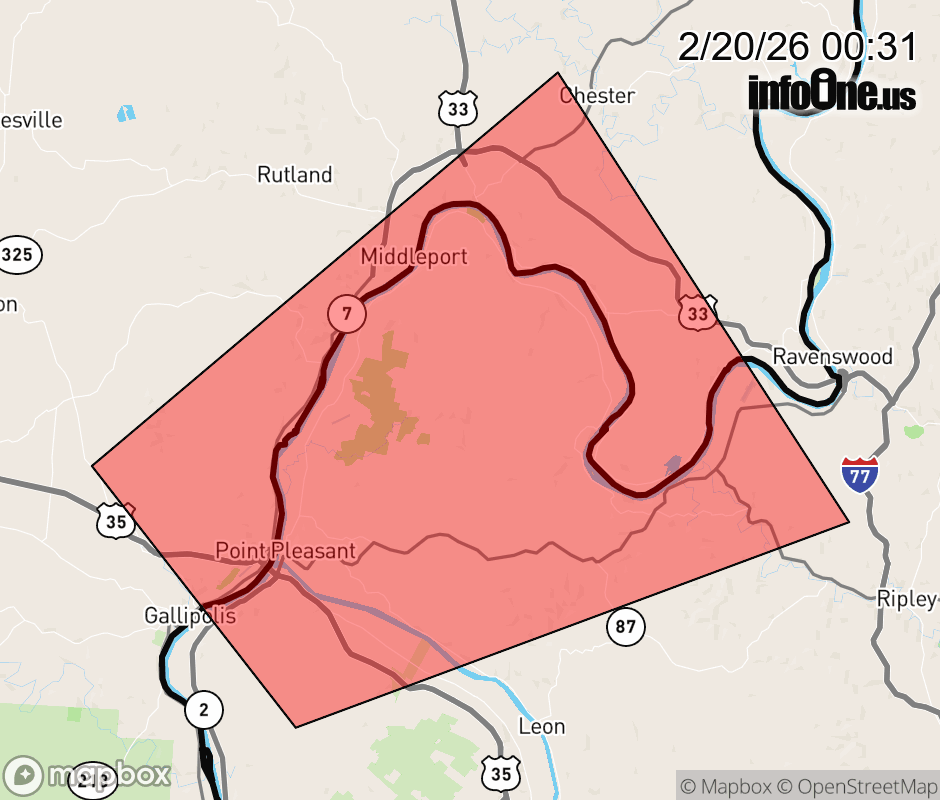 |
|||||||||
 Why aren't you using the InfoOne app? Why aren't you using the InfoOne app?
Stay abreast of information affecting your community! InfoOne tracks real-time information such as:
InfoOne currently supports over 100 communities in NC, VA and WV, and our coverage area is steadily growing. It's free! Install the InfoOne app today and see what you've been missing. |
|||||||||