|
|
Weather Alert |
| Boone County, WV | |||||||||
|
|
||||||||
|
Canceled 4/29/26 3:30 PM Special Weather Statement issued April 29 at 3:08PM EDT by NWS Charleston WV At 306 PM EDT, Doppler radar was tracking a strong thunderstorm near Marmet, or 10 miles south of Charleston, moving east at 45 mph. HAZARD...Wind gusts up to 40 mph and pea size hail. SOURCE...Radar indicated. IMPACT...Gusty winds could knock down tree limbs and blow around unsecured objects. Minor hail damage to vegetation is possible. Locations impacted include... Charleston, Clay, Montgomery, Chesapeake, Marmet, Ansted, Belle, Cedar Grove, East Bank, Glasgow, Smithers, Gauley Bridge, Pratt, Powellton, Glen, Hawks Nest State Park, Coal Fork, Handley, Seth, and Dawes. This includes the following highways... Interstate 77 in West Virginia between mile markers 96 and 97. West Virginia Turnpike between mile markers 71 and 95. 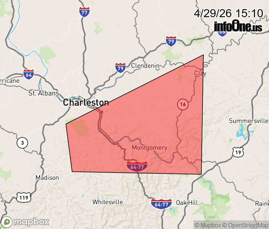 |
|||||||||
 Why aren't you using the InfoOne app? Why aren't you using the InfoOne app?
Stay abreast of information affecting your community! InfoOne tracks real-time information such as:
InfoOne currently supports over 100 communities in NC, VA and WV, and our coverage area is steadily growing. It's free! Install the InfoOne app today and see what you've been missing. |
|||||||||