|
|
Weather Alert |
| Harrison County, WV | |||||||||
|
|
||||||||
|
Canceled 6/11/26 3:45 PM Special Weather Statement issued June 11 at 3:08PM EDT by NWS Charleston WV At 308 PM EDT, Doppler radar was tracking a strong thunderstorm 10 miles west of Jackson Mill, or 12 miles northwest of Weston, moving east at 30 mph. HAZARD...Wind gusts up to 50 mph and pea size hail. SOURCE...Radar indicated. IMPACT...Gusty winds could knock down tree limbs and blow around unsecured objects. Minor hail damage to vegetation is possible. Locations impacted include... Clarksburg, Weston, Jackson Mill, West Milford, Lost Creek, Jane Lew, Camden, Avon, Grove, Leopold, Wolf Summit, Troy, New Milton, Alum Bridge, and Lorentz. This includes the following highways... Interstate 79 between mile markers 96 and 112. Route 50 in West Virginia between mile markers 71 and 77. Route 33 mile marker 1 and near mile marker 7. 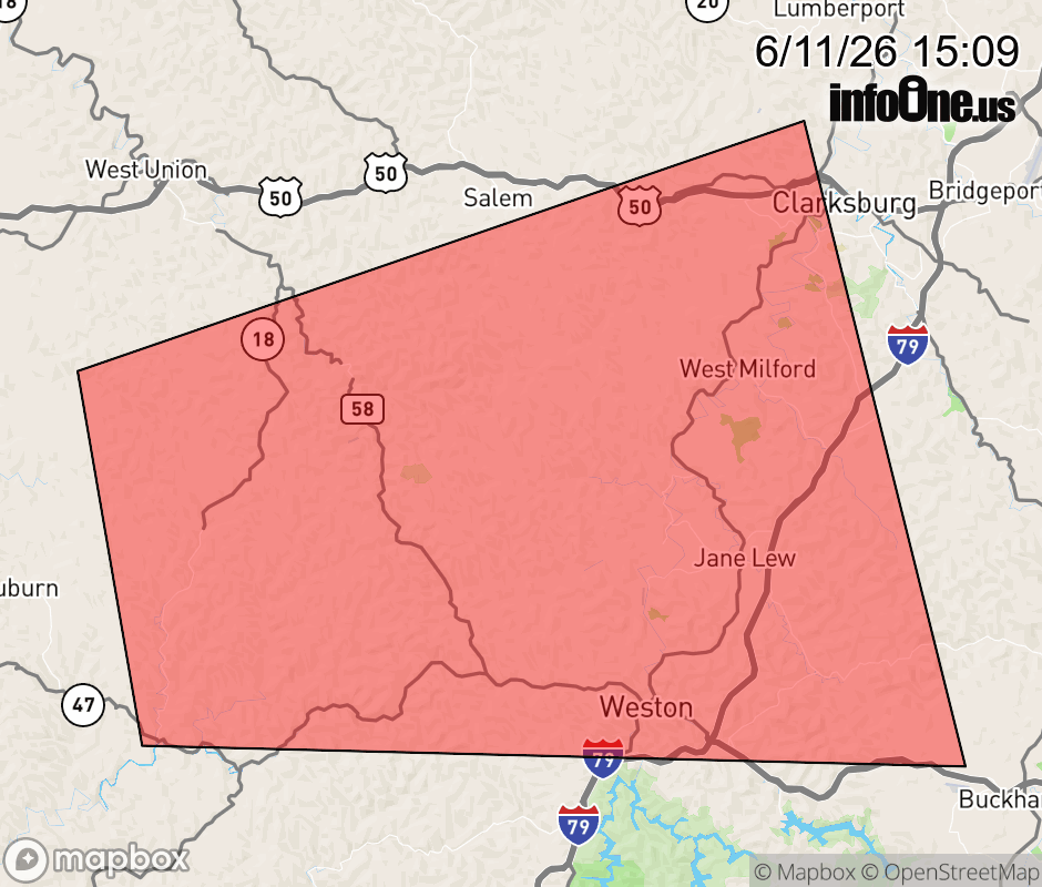 |
|||||||||
 Why aren't you using the InfoOne app? Why aren't you using the InfoOne app?
Stay abreast of information affecting your community! InfoOne tracks real-time information such as:
InfoOne currently supports over 100 communities in NC, VA and WV, and our coverage area is steadily growing. It's free! Install the InfoOne app today and see what you've been missing. |
|||||||||