|
|
Weather Alert |
| Boone County, WV | |||||||||
|
|
||||||||
|
Canceled 6/12/26 3:42 PM Severe Thunderstorm Warning issued June 12 at 3:19PM EDT until June 12 at 3:45PM EDT by NWS Charleston WV At 319 PM EDT, severe thunderstorms were located along a line extending from near Ansted to 6 miles east of Van, moving southeast at 20 mph. HAZARD...60 mph wind gusts and quarter size hail. SOURCE...Radar indicated. IMPACT...Hail damage to vehicles is expected. Expect wind damage to roofs, siding, and trees. Locations impacted include... Montgomery, Ansted, Smithers, Gauley Bridge, Pratt, Burnwell, Powellton, Hawks Nest State Park, Whitesville, Handley, Sylvester, Seth, Leewood, Dawes, Sharon, Eskdale, and Dorothy. 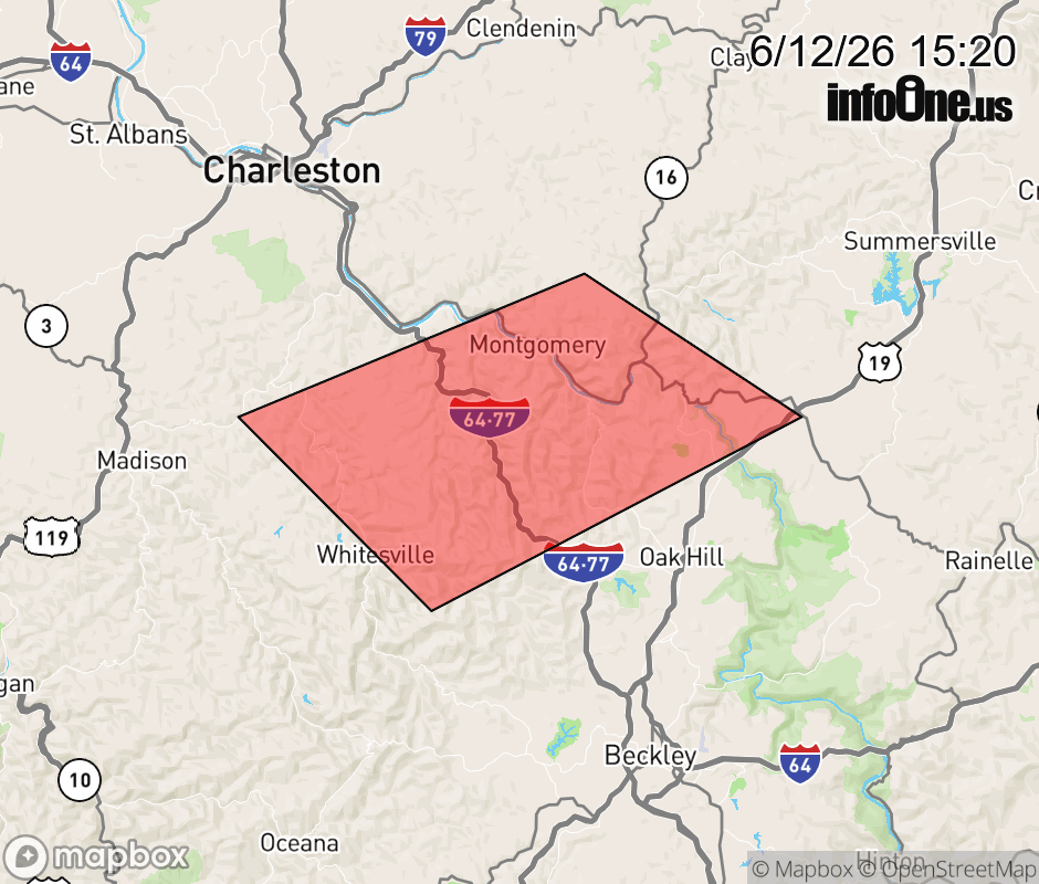 |
|||||||||
 Why aren't you using the InfoOne app? Why aren't you using the InfoOne app?
Stay abreast of information affecting your community! InfoOne tracks real-time information such as:
InfoOne currently supports over 100 communities in NC, VA and WV, and our coverage area is steadily growing. It's free! Install the InfoOne app today and see what you've been missing. |
|||||||||