
|
Weather Alert |
| Jackson County, WV | |||||||||
|
|
||||||||
|
Canceled 7/18/26 4:45 PM Severe Thunderstorm Warning issued July 18 at 4:15PM EDT until July 18 at 5:00PM EDT by NWS Charleston WV SVRRLX The National Weather Service in Charleston West Virginia has issued a * Severe Thunderstorm Warning for... Meigs County in southeastern Ohio... Gallia County in southeastern Ohio... Southeastern Jackson County in southeastern Ohio... Southeastern Vinton County in southeastern Ohio... Northwestern Mason County in western West Virginia... Northern Jackson County in northwestern West Virginia... * Until 500 PM EDT. * At 415 PM EDT, severe thunderstorms were located along a line extending from 6 miles north of Pomeroy to near Rio Grande, moving southeast at 35 mph. HAZARD...60 mph wind gusts. SOURCE...Radar indicated. IMPACT...Expect damage to roofs, siding, and trees. * Locations impacted include... Point Pleasant, Gallipolis, Pomeroy, Rio Grande, Racine, Rutland, Ravenswood, New Haven, Mason, Middleport, Chester, Syracuse, Hartford City, Henderson, Vinton, Wilkesville, Cheshire, Adamsville, Portland, and Lakin. This includes Interstate 77 in West Virginia between mile markers 146 and 154. 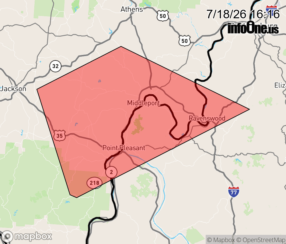 |
|||||||||
 Why aren't you using the InfoOne app? Why aren't you using the InfoOne app?
Stay abreast of information affecting your community! InfoOne tracks real-time information such as:
InfoOne currently supports over 100 communities in NC, VA and WV, and our coverage area is steadily growing. It's free! Install the InfoOne app today and see what you've been missing. |
|||||||||