|
|
Weather Alert |
| Wirt County, WV | |||||||||
|
|
||||||||
|
Canceled 5/13/25 6:04 PM Severe Thunderstorm Warning issued May 13 at 5:39PM EDT until May 13 at 6:15PM EDT by NWS Charleston WV SVRRLX The National Weather Service in Charleston West Virginia has issued a * Severe Thunderstorm Warning for... Southeastern Meigs County in southeastern Ohio... Northeastern Mason County in western West Virginia... Southwestern Wirt County in northwestern West Virginia... Northwestern Roane County in central West Virginia... Jackson County in northwestern West Virginia... * Until 615 PM EDT. * At 538 PM EDT, a severe thunderstorm was located near Ripley, moving northwest at 35 mph. HAZARD...60 mph wind gusts and quarter size hail. SOURCE...Trained weather spotters. IMPACT...Hail damage to vehicles is expected. Expect wind damage to roofs, siding, and trees. * Locations impacted include... Ripley, Ravenswood, Sandyville, Kenna, Mount Alto, Statts Mills, Harmony, Given, Kentuck, Cottageville, Evans, Leroy, Fairplain, Letart, and Gay. This includes Interstate 77 in West Virginia between mile markers 119 and 150. 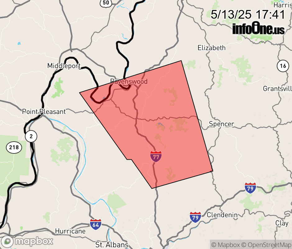 |
|||||||||
 Why aren't you using the InfoOne app? Why aren't you using the InfoOne app?
Stay abreast of information affecting your community! InfoOne tracks real-time information such as:
InfoOne currently supports over 100 communities in NC, VA and WV, and our coverage area is steadily growing. It's free! Install the InfoOne app today and see what you've been missing. |
|||||||||