|
|
Weather Alert |
| Forsyth County, NC | |||||||||
|
|
||||||||
|
Canceled 5/28/23 11:00 PM Special Weather Statement issued May 28 at 9:57PM EDT by NWS Raleigh NC At 954 PM EDT, Doppler radar was tracking a thunderstorm near Winston-Salem, moving northwest at 25 mph. HAZARD...The main hazard is heavy rainfall and localized minor flooding. SOURCE...Radar indicated. IMPACT...Heavy rainfall could lead to ponding on area roadways and overflowing ditches. Locations impacted include... Winston-Salem, Kernersville, Clemmons, Bermuda Run, Lewisville, Walkertown, Rural Hall, Pfafftown, Belews Creek and Stanleyville. This includes Interstate 40 between Mile Markers 182 and 204. 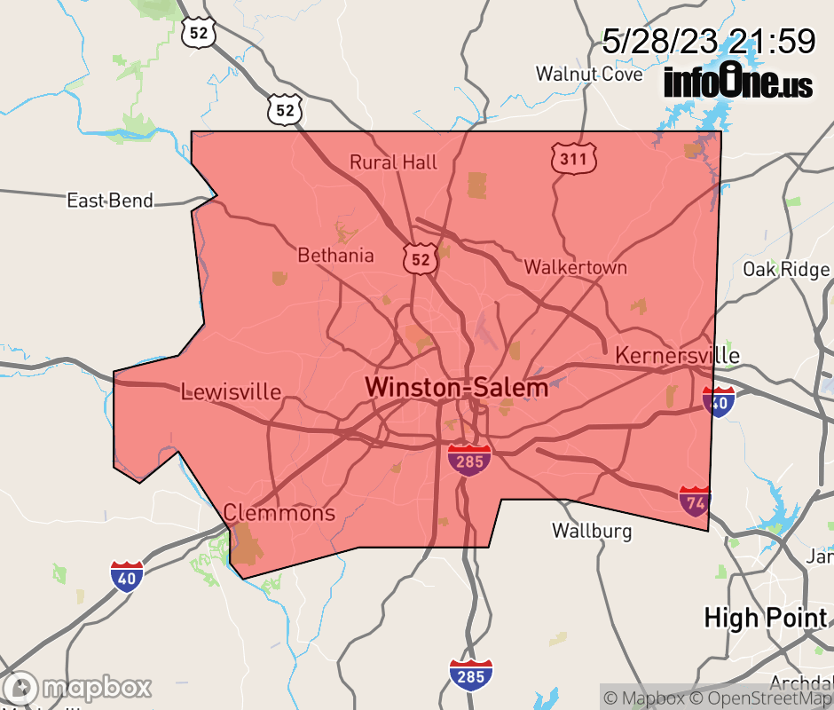 |
|||||||||
 Why aren't you using the InfoOne app? Why aren't you using the InfoOne app?
Stay abreast of information affecting your community! InfoOne tracks real-time information such as:
InfoOne currently supports over 100 communities in NC, VA and WV, and our coverage area is steadily growing. It's free! Install the InfoOne app today and see what you've been missing. |
|||||||||