
|
Weather Alert |
| Kanawha County, WV | |||||||||
|
|
||||||||
|
Canceled 8/16/26 8:25 PM Flood Warning issued August 16 at 1:16PM EDT until August 16 at 8:45PM EDT by NWS Charleston WV * WHAT... Flooding caused by excessive rainfall is expected. * WHERE... Northeastern Boone County in central West Virginia... Southeastern Kanawha County in central West Virginia... Western Fayette County in southeastern West Virginia... North Central Raleigh County in southeastern West Virginia... * WHEN... Until 845 PM EDT Sunday. * IMPACTS... Numerous roads remain closed due to flooding. Water will continue to work its way down the drainages with continuing high water impacts. * ADDITIONAL DETAILS... - At 114 PM EDT, emergency management reported heavy rain had fallen in the warned area due to thunderstorms. Flooding is ongoing. Between 2 and 4 inches of rain have fallen. - Flooding impacts will continue, but no additional rainfall is expected. - Some locations that will experience flooding include... Fayetteville, Oak Hill, Montgomery, Chesapeake, Marmet, Ansted, Belle, Cedar Grove, East Bank, Glasgow, Smithers, Gauley Bridge, Pratt, Burnwell, Powellton, Hawks Nest State Park, Coal Fork, Handley, Sylvester and Thurmond. - This includes the following highways... Route 19 between mile markers 8 and 16...and between mile markers 18 and 23. West Virginia Turnpike between mile markers 57 and 92. - http://www.weather.gov/safety/flood 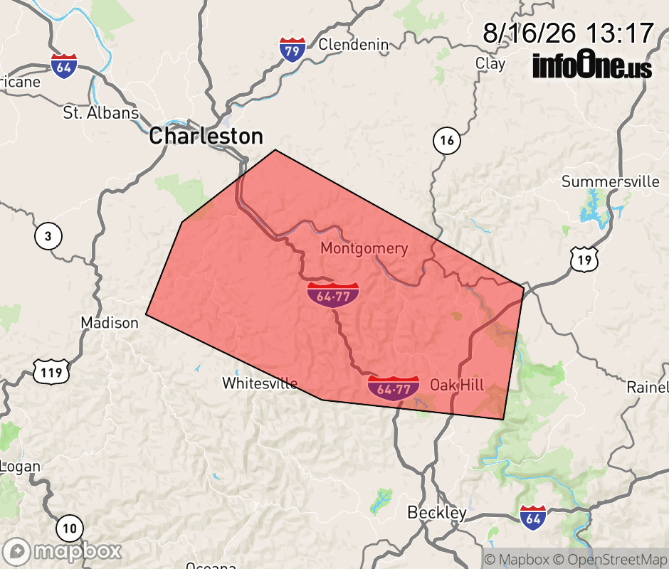 |
|||||||||
 Why aren't you using the InfoOne app? Why aren't you using the InfoOne app?
Stay abreast of information affecting your community! InfoOne tracks real-time information such as:
InfoOne currently supports over 100 communities in NC, VA and WV, and our coverage area is steadily growing. It's free! Install the InfoOne app today and see what you've been missing. |
|||||||||