|
|
Weather Alert |
| Franklin County, OH | |||||||||
|
|
||||||||
|
Canceled 7/12/25 5:32 PM Severe Thunderstorm Warning issued July 12 at 5:04PM EDT until July 12 at 5:45PM EDT by NWS Wilmington OH SVRILN The National Weather Service in Wilmington has issued a * Severe Thunderstorm Warning for... Northern Franklin County in central Ohio... Southern Delaware County in central Ohio... West central Licking County in central Ohio... Southeastern Union County in central Ohio... Northeastern Madison County in central Ohio... * Until 545 PM EDT. * At 504 PM EDT, a severe thunderstorm was located near Dublin, moving east at 25 mph. HAZARD...60 mph wind gusts and penny size hail. SOURCE...Radar indicated. IMPACT...Expect damage to trees and power lines. * Locations impacted include... Columbus, Dublin, Westerville, Delaware, Upper Arlington, Hilliard, Marysville, Worthington, Powell, Johnstown, Sunbury, Plain City, New California, Polaris, New Albany, Shawnee Hills, Galena, Riverlea, Alum Creek State Park, and US Route 33 at US Route 42. This includes I-71 in Ohio between mile markers 117 and 136. 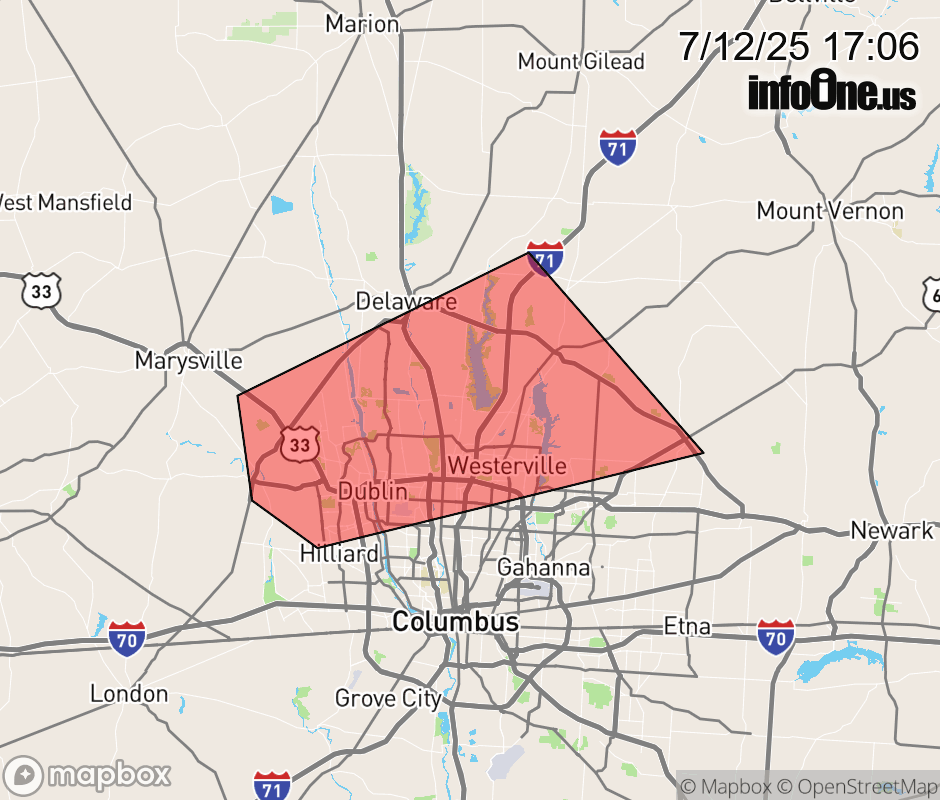 |
|||||||||
 Why aren't you using the InfoOne app? Why aren't you using the InfoOne app?
Stay abreast of information affecting your community! InfoOne tracks real-time information such as:
InfoOne currently supports over 100 communities in NC, VA and WV, and our coverage area is steadily growing. It's free! Install the InfoOne app today and see what you've been missing. |
|||||||||