|
|
Weather Alert |
| Franklin County, OH | |||||||||
|
|
||||||||
|
Canceled 6/6/26 5:36 PM Severe Thunderstorm Warning issued June 6 at 5:28PM EDT until June 6 at 6:00PM EDT by NWS Wilmington OH At 528 PM EDT, a severe thunderstorm was located near Westerville, moving east at 40 mph. HAZARD...Ping pong ball size hail and 60 mph wind gusts. SOURCE...Radar indicated. IMPACT...People and animals outdoors will be injured. Expect hail damage to roofs, siding, windows, and vehicles. Expect wind damage to roofs, siding, and trees. Locations impacted include... Columbus, Newark, Westerville, Delaware, Gahanna, Worthington, Heath, Granville, Pataskala, Johnstown, Sunbury, Utica, Minerva Park, Granville South, Polaris, Easton, New Albany, Jersey, Galena, and Riverlea. 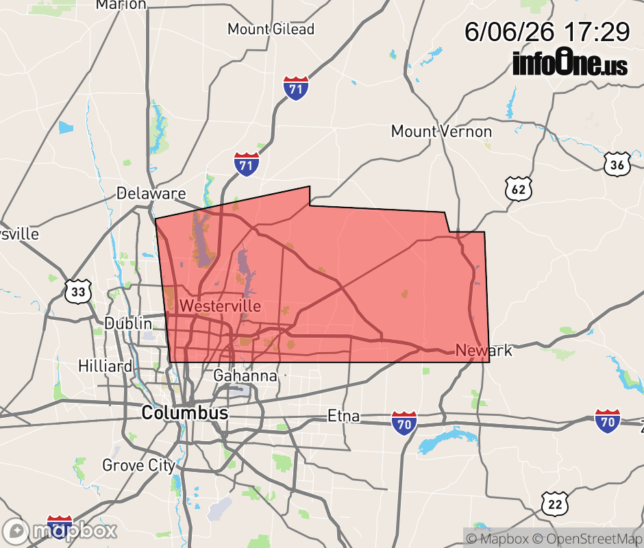 |
|||||||||
 Why aren't you using the InfoOne app? Why aren't you using the InfoOne app?
Stay abreast of information affecting your community! InfoOne tracks real-time information such as:
InfoOne currently supports over 100 communities in NC, VA and WV, and our coverage area is steadily growing. It's free! Install the InfoOne app today and see what you've been missing. |
|||||||||